Weather
The local micro-climate in Queenstown can be a hard one to read. Check out the local weather stations or better yet, join the club and get involved on the local WhatsApp group to get live on-the-ground updates. We’ll be updating this page with a few new weather stations shortly - so stay tuned!
Finding the Wind
Real Time Wind Recording
For wind at Queenstown airport - http://www.metservice.com/towns-cities/queenstown (Slight variations from the lake but in general if its 20+ it is just about sailable for a short board windsurfer.)
For wind at Glenorchy - http://holfuy.com/en/data/278
For a Glenorchy webcam - https://webcam.io/webcams/zOwDaz
For wind at Kingston - https://holfuy.com/en/weather/1080
For wind in Dunedin - https://www.portotago.co.nz/our-harbour/harbour-conditions/
For wind on Lake Dunstan - south of lake and north of lake (anything that is recording N/NW is good, NE is possible)
For wind at Centre Island, just off South Coast -
Queenstown Wind and Weather Forecast
Websites: www.metservice.co.nz - weather forecasts for Queenstown and Southern Lakes.
Have a Look from Up High
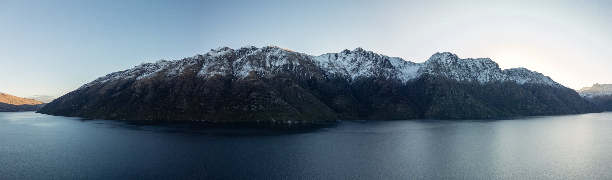
In general if you go up somewhere high and look at both arms of the lake you should be able to get an idea what is happening. In town Belfast Terrace, Edinburgh Drive and the top of Man street are all good spots as are many spots at Fernhill. Look down at the boats near the Kelvin Heights golf course, are they facing South or West? Look down the southern arm of the lake, can you see a darker wind line further down the lake? Are there thermal type cumulus clouds sitting on the top of the Remarkables? (maybe a southerly will come through). Look over to Walter Peak, if you can see some white wave tops just behind Walter Peak this is usually a sign that the NW is happening further up the lake.
Forecasting wind on the Southern Lakes
The wind in the Southern lakes mountain area is heavily influenced by the mountains so it is important to understand what is happening with the wind at higher elevations and about the mountain tops that surround the lakes. A good place to start understanding the wind forecast for the region is to look at the Southern Lakes Mountain Forecast. https://www.metservice.com/mountains-and-parks/national-parks/southern-lakes Another good place to check upper elevation winds is to check the mid dome weather station on the Zephyr App https://www.zephyrapp.nz/ The mid dome weather station is located on a mountain at an altitude of 1478m south of Queenstown so it does a good job of reporting the true upper elevation wind as it has not been heavily influenced by the mountains.
Westerlies
Southern Lakes prevailing winds come from the west and can be particularly strong during spring and early summer. These winds can be north west, straight west, and south west, and sometimes straight north. For each variation of west there are areas that work and areas that dont. Westerly winds are redirected by the surrounding the mountains so it is important to understand the exact wind direction - there is a big difference between a true northwest wind as opposed to a true southwest wind. Each variation of westerly has a different spot that works best.
The mountain forecast and looking at high elevation weather stations is the best way to understand what the true upper elevation wind is currently doing, and what the wind is forecast to do. Later in the summer season high pressure systems can dominate the weather over the south island. High pressure is associated with light wind, but approaching low pressure systems from the west and their associated westerly winds are usually never far away.
Southerlies
The second most predominant wind direction in the Queenstown area is a southerly. A thermal southerly happens when the land and mountains inland heat up enough to start heating the air above the land. Warm air rises. When the warm inland air rises then air from the coast rushes in to replace it and this brings in the southerly wind! The local Queenstown metservice forecast does a good job of forecasting a thermal southerly, scroll down to the section that reads “Hourly Observations and Forecast” and look for a forecast southerly wind direction. https://www.metservice.com/towns-cities/regions/southern-lakes/locations/queenstown Thermal southerlies normally happen on hot summer days. On a thermal southerly day it is normal to see cumulus clouds building and this indicates upwards moving air. The thermal southerly can start as early as 2pm but more reliably by 5pm. It can start very lightly and sometimes build too as strong as 30 knots. Strong north, westerly, or easterly winds on the coast can cancel out this wind and stop it from arriving in Queenstown.
It is also common to get a straight southerly airflow wind in Queenstown, on these days expect cold, cloudy, and showery weather - but also some great wind sports conditions if you are okay with cold weather.
Main wind directions in the Southern Lakes area and where to go
North to West - 25mile (Creighton), Glenorchy. Lake Hawea. Kelvin Heights can sometimes work in a strong westerly but is often gusty and inconsistent.
South Westerly - Frankton Arm needs a strong SW. Kelvin Heights. 1 mile.
Southerly - Jardines
North to North East - Kingston
Easterlies - Riverton